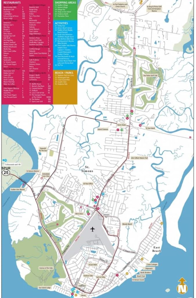
St Simons Island Map & Directions
Ground & Air Transportation Information – Everything You Need to Get Here!
No matter where you are coming from we’ve got your covered when it comes to St Simon’s Island transportation. Whether you are driving, flying or just need a great map for reference, you can find these resources and more below.
Where is St Simons Island?
You might be surprised how often we are asked, ‘so where is St Simons Island exactly?’ Located in coastal Georgia, St Simons Island is the largest barrier island in the Golden Isles on the Atlantic Coast. Nestled south of Sea Island and north of Jekyll Island, St Simon’s Island is a southern Georgia gem easily accessed by Interstate 95.
Directions to St Simons Island
If you are driving to coastal Georgia there are a number of ways to get here it just depends on where you are coming from. North, south or west I 95 is your ticket to the island. Directions are easy and really, once you are close enough you can’t really get lost, we are on an island!
From South I95
- Take Exit 38 and continue on GA-25 Spur S/Golden Islaes Pkwy
- Take FJ Torras Causeway, Sea Island Rd and Frederica Rd to Village Dr
From North I95
- Take Exit 29 and continue on US-17N
- Take FJ Torras Causeway, Sea Island Rd and Frederica Rd to Village Dr
How Far is St Simons Island from Atlanta?
Driving from Atlanta to St Simons Island takes approximately 5 hours and is a distance of 315 miles.
How Far is St Simons Island from Savannah?
Driving from Savannah to St Simons Island takes approximately 1 h 45 minutes and is a distance of 88 miles. Perfect for a day trip!
Closest Airports to St Simon’s Island
If you are flying to St Simon’s Island, there are two regional airports that may be able to accomodate your travel otherwise the nearby international airport in Savannah is your best option.

Once you arrive, St. Simons Island is easy to navigate. The Hodnett Cooper offices are located at 520 Ocean Boulevard, right next to the landmark Mullet Bay restaurant. Stop in to our offices during business hours for a more detailed map of town. Safe travels!